Sands Conservation Area
Also known as Douglas Sands Trail
Location
Map Legend


Directions
For the Sands Trail and southern terminus of the Greenwood Trail, park at a graveled parking area at the intersection of Saddle Hill Road and Geeenwood Road just beyond a huge boulder. As you enter Greenwood Rd. from Saddle Hill Rd., it is on the right side of Greenwood.
You can also enter the Sands Trail at the east trailhead, but you will have to park along Greenwood Road.
For access to the Pipeline Trail or the northern terminus of the Greenwood Trail, there is a paved parking lot on Greenwood Road opposite Trevor Lane.
To do the short 1-mile loop on the Greenwood Trail, park at the soccer field opposite 48 Greenwood Road.
Overview
This conservation area is composed of a number of parcels that surround developments and other conservation land in the north part of town between Saddle Hill Road and Cedar Street. It has several trails that connect to trails in neighboring conservation areas, and together with the Eagle Farms trails, provides the most extensive trail network in Hopkinton outside of state parks.
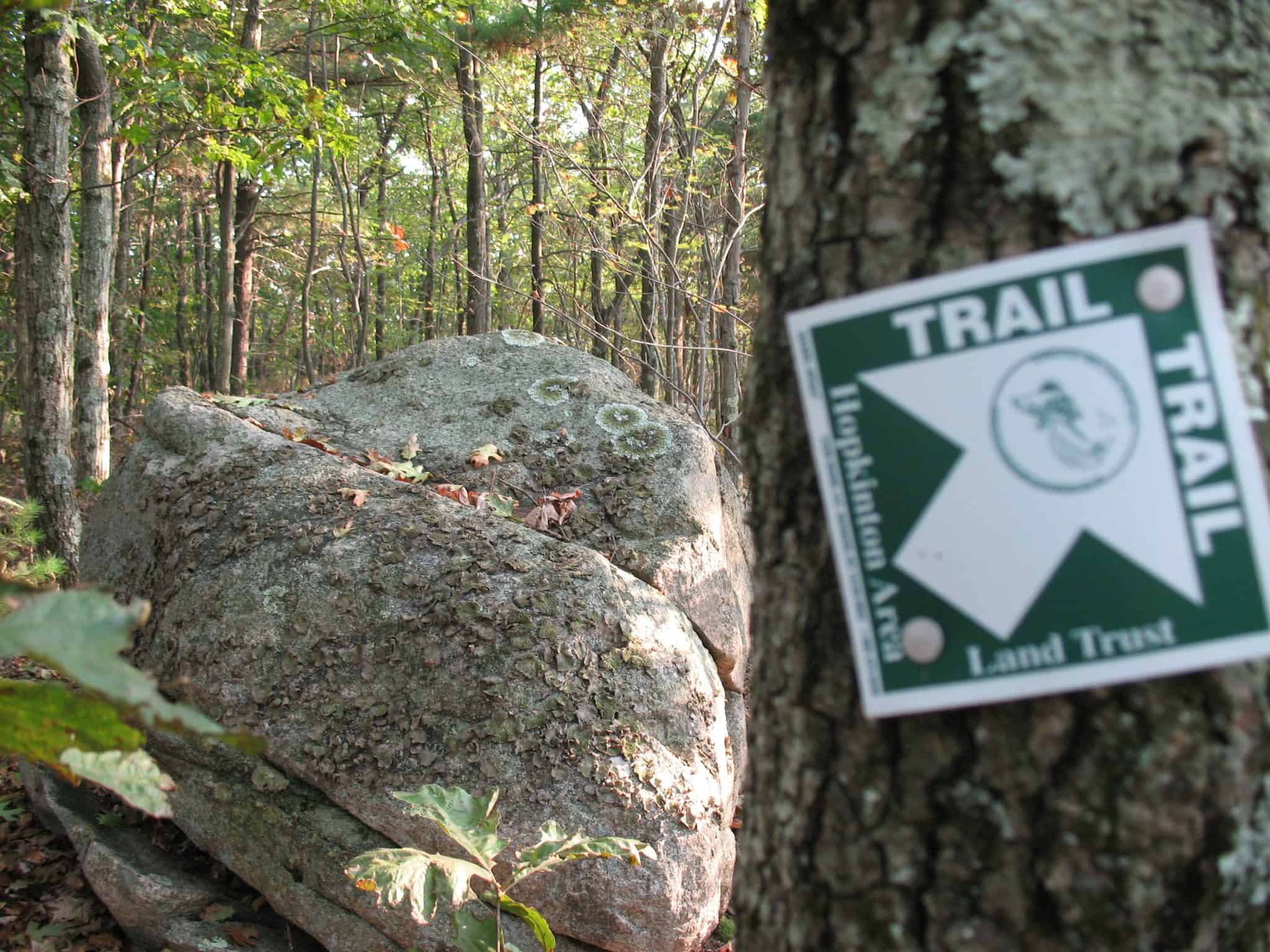
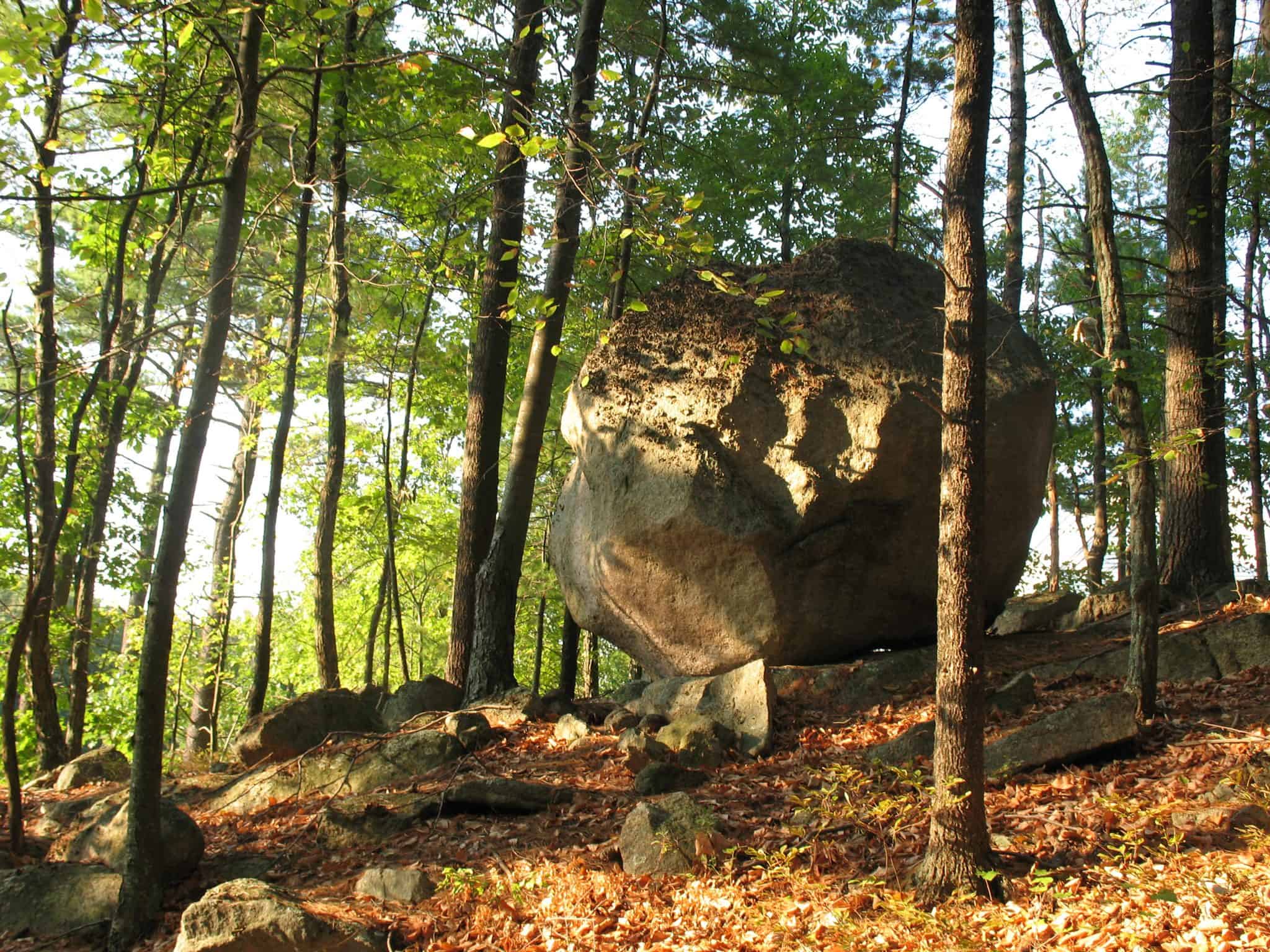
Douglas Sands Memorial Trail
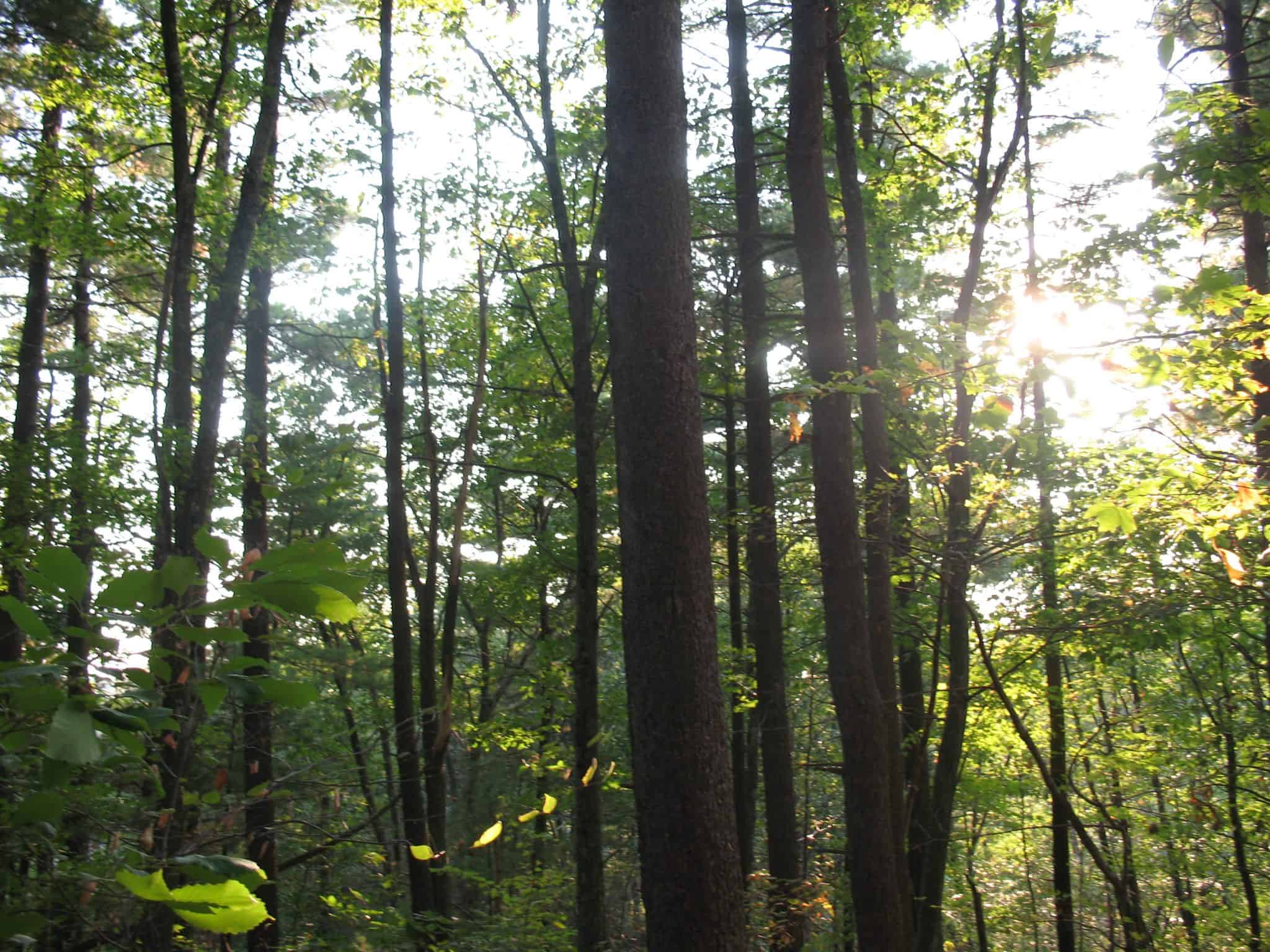
This beautiful trail is along a wooded ridge that overlooks a deep ravine. The trail is relatively short, but rugged in places. At the upper end of the trail, look for a path that rises to the right towards a rocky overlook with dramatic views to the northwest. Saddle Hill Road and the Saddle Hill Country Club were named after this promontory which is shaped like a horse saddle about the size of a house foundation.
The Sands trail enters the Sudbury Valley Trustees property at its northern end where it joins the Saddle Hill Trail. Turn left to get to Greenwood Rd. and walk back to your car along the road, or turn right to explore Sudbury Valley Trustees’ Saddle Hill Conservation Area and the Pipeline Trail. The Saddle Hill Trail connects to many more miles of trails in Hopkinton State Park, and, by going under the Overlook Road viaduct, to the similarly rugged Betty Fitzpatrick Trail at Eagle Farms.
Pipeline Trail
The Pipeline Trail connects the Saddle Hill area with the paved parking lot on Overlook Road opposite Trevor Lane on the north and the Duck Pond Trail in Hopkinton State Park on the south. Except for the loop around Summit Way, the trail follows an old telephone line right-of-way, and much of it is quite wide. When walking this trail, keep an eye out for signs that take you on the bypass around Summit Way. If you miss that bypass you will have to cross Summit Way and walk on a lawn to meet the trail again across the street.
Greenwood Trail
For a much longer walk, try the new Greenwood Trail that takes you through scenic woodlands and a river valley, with some stream crossings, joining the Betty Fitzpatrick Trail at Eagle Farms with the Douglas Sands Trail. If you have most of a day, you can walk a 4-mile loop by heading into the woods on th Fitzpatrick Connector starting at the paved parking lot on Overlook Road opposite Trevor Lane, turning left where it joins the Betty Fitzpatrick Trail, and keeping an eye out for a right turn onto the Greenwood Trail immediately after the river crossing. Take the Greenwood Trail all the way to its southern terminus at the corner of Saddle Hill Road and Greenwood Road, cross Greenwood Road and enter the Sands Trail at a large sign, turn right where the Sands Trail meets the Saddle Hill Trail and continue on the Saddle Hill Trail to the junction with the very straight, road-like Pipeline Trail. Turn left onto the Pipeline Trail and follow signs until you get back to Overlook Road opposite the parking lot.
For a shorter 1-mile loop, a convenient place to park for the Greenwood Trail is at the soccer field opposite 48 Greenwood Road, where you can make a loop by using the Greenwood Connector that joins the Greenwood Trail in two places on either side of Greenwood Road. The entrance to the Connector is marked but there is no big trailhead sign. Do the loop counterclockwise from the lot by crossing Greenwood Road and finding the opening in the woods where the Connector comes out, and taking the Connector to its junction with the Greenwood Trail just before it crosses Greenwood Road. Cross the road and continue on the Greenwood Trail for most of a mile until you get to a stream crossing. After the crossing, turn left at a junction onto the Greenwood Connector, which leads you back to the soccer field. If you turn right at this junction you will eventually reach Saddle Hill Road.
After returning to your car consider relaxing at the nearby Zettek Overlook.
Size: 74 acres
Longest Walk: 4 miles
Acquired: 1998
Photo Gallery

History
The Sands Trail was named after Douglas Sands, a Hopkinton science teacher who was a natural raconteur and passionate observer of nature.
Activities
Biking, Cross Country Skiing, Hiking/Walking, Woods Trail
Additional Information
The Sudbury Valley Trustees has a Saddle Hill brochure with a printable map of the conservation land in this area.