Mighton Woods
Also known as North Mill Trail Head
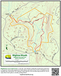
Location
Map Legend


Directions
Access from one of the two trailheads, both of which have large signs. The trailhead opposite 64 North Mill Street has a pullout for parking. The other trailhead is between 2 and 4 East Street. For that, park at the North Mill historical site a few hundred feet up north on North Mill Street.
Overview
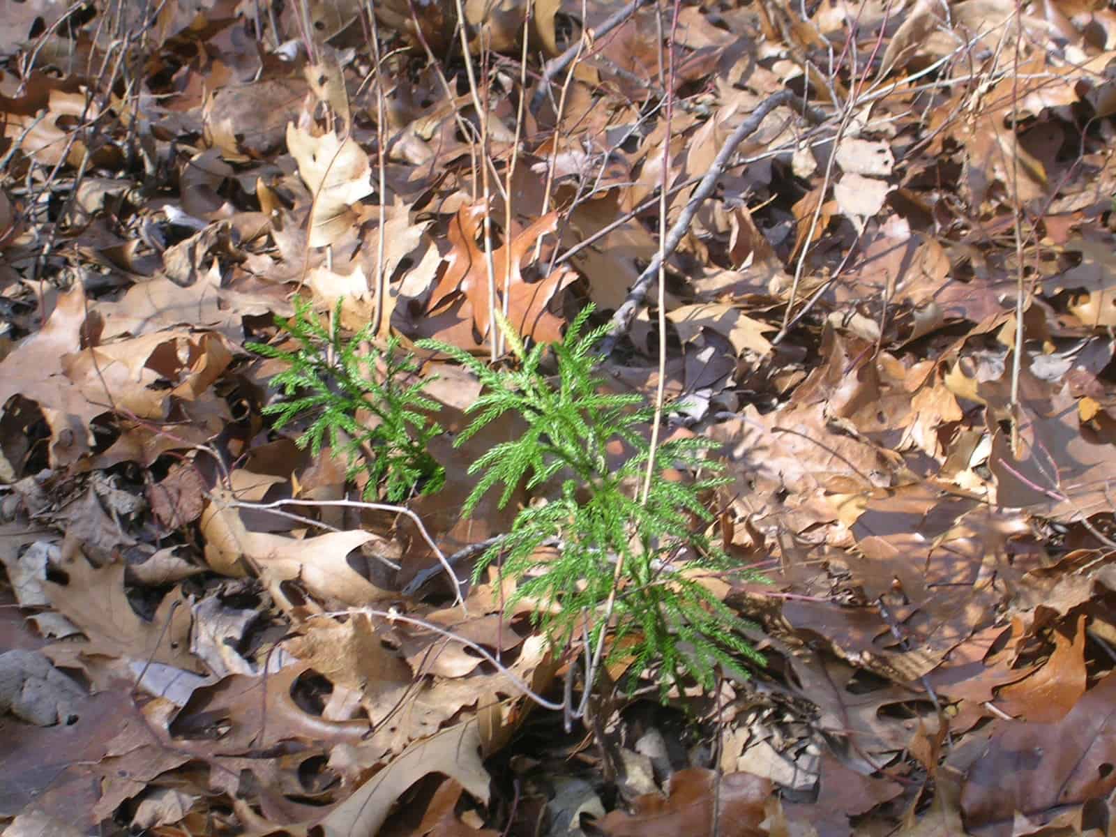
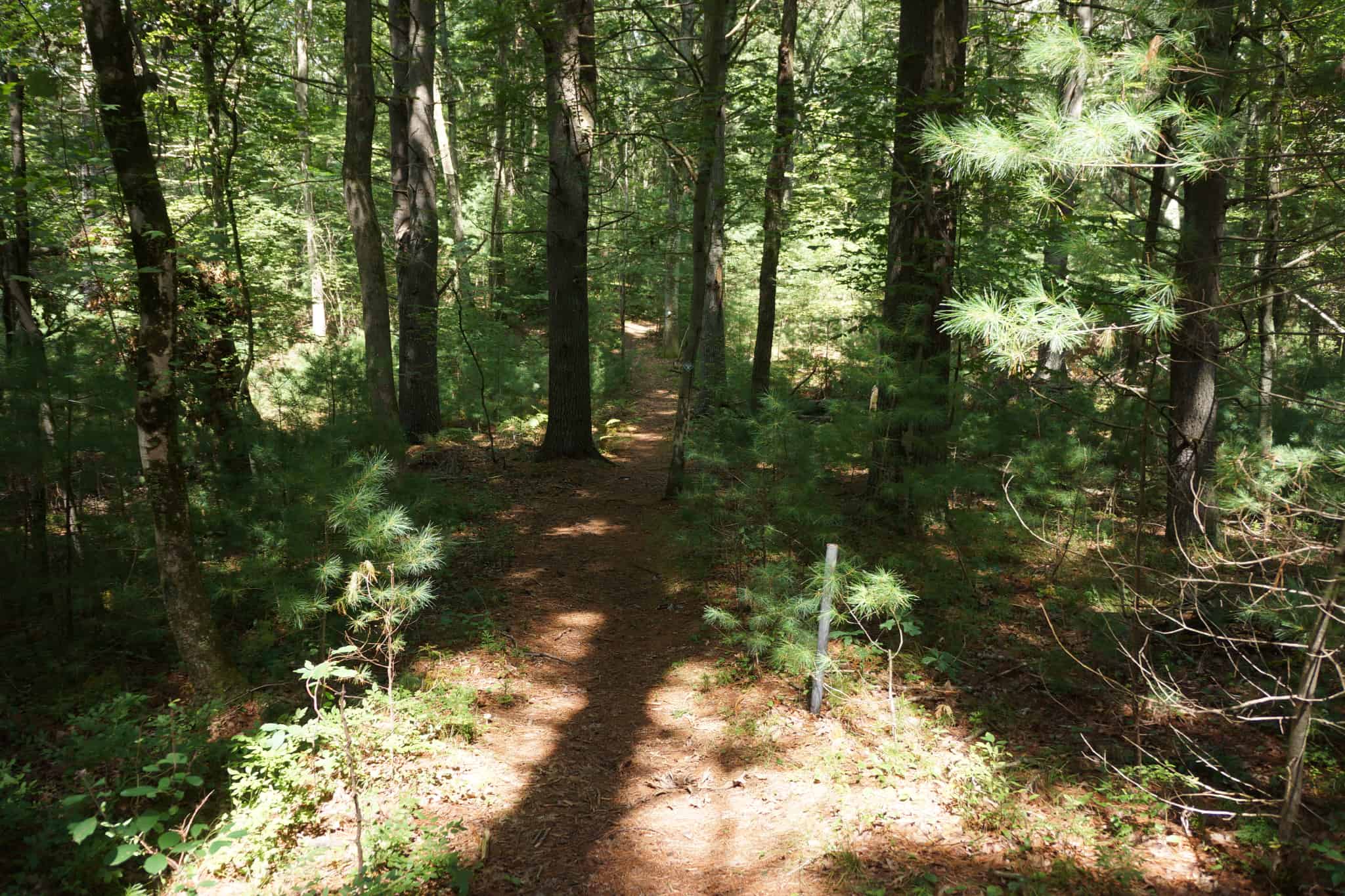
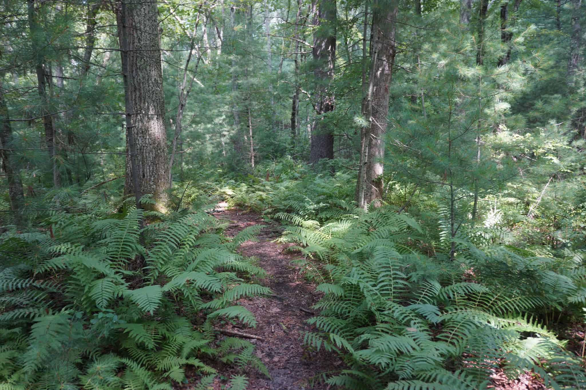
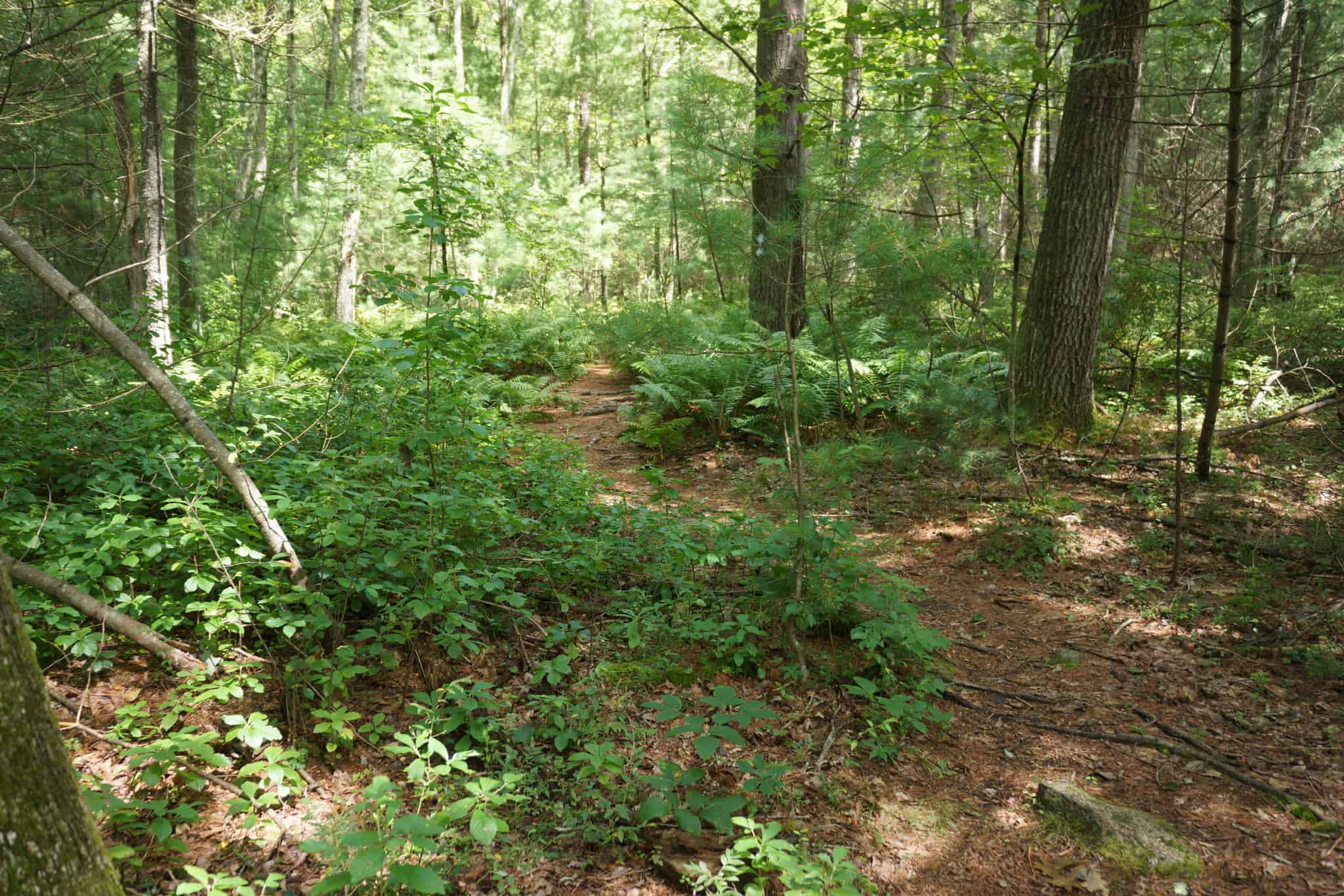
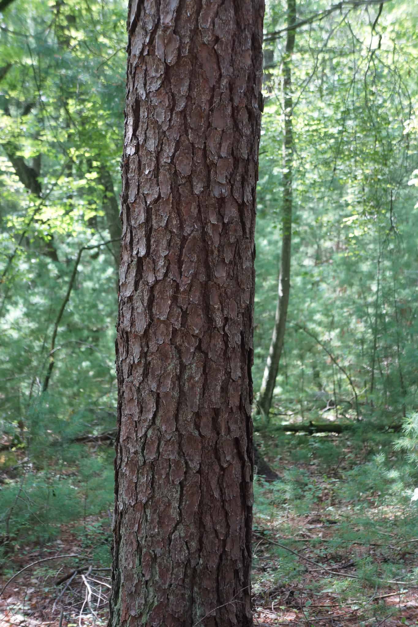
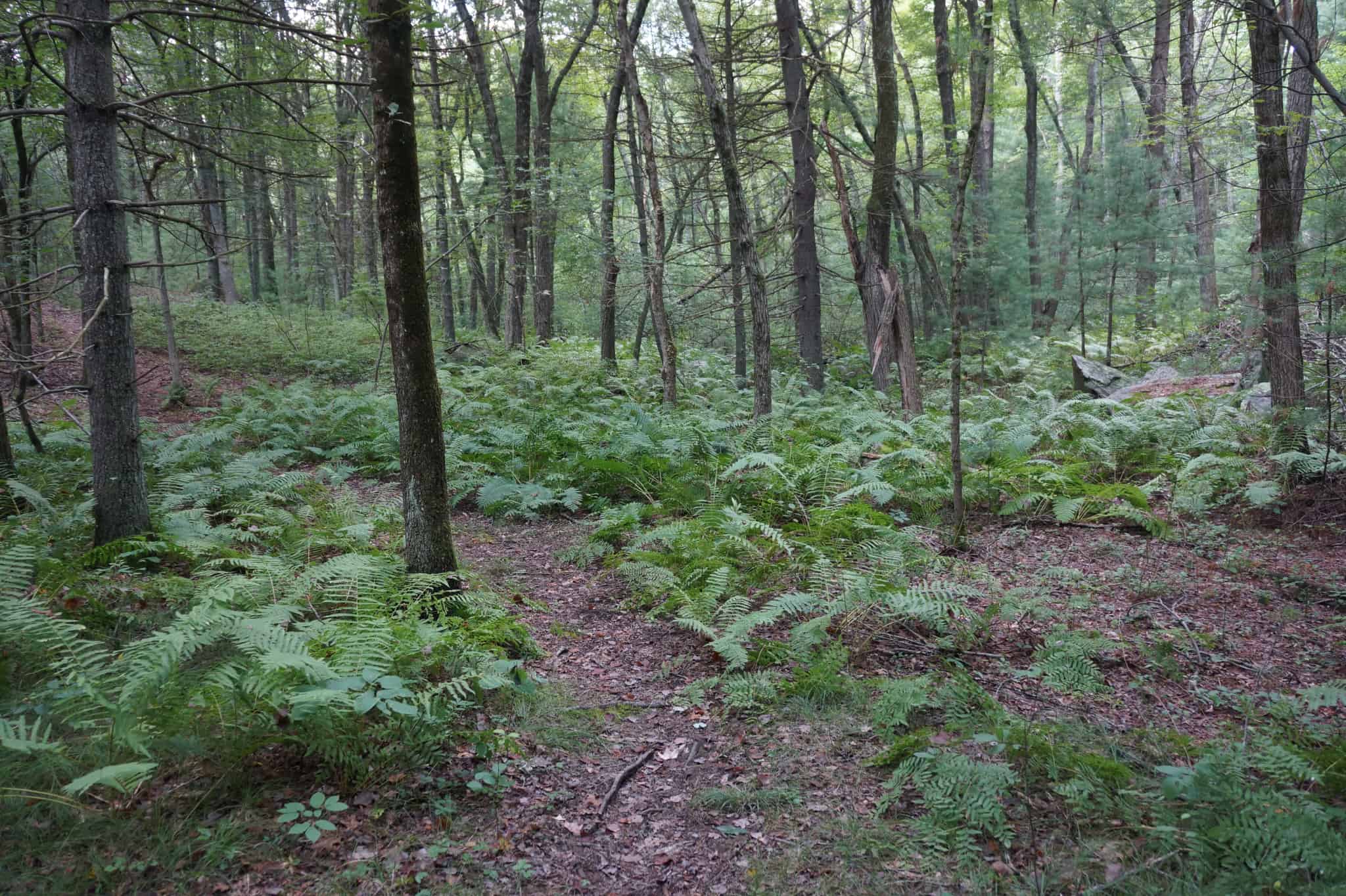
 The Karl Mighton Trail is one of the best walks in southeast Hopkinton, winding over gently rolling hills, through pine forests, stands of oak, and fern glades. It feels remote: once in from the trailheads, you will not see a house and probably not another person, and distance from major roads means it is quiet and serene.
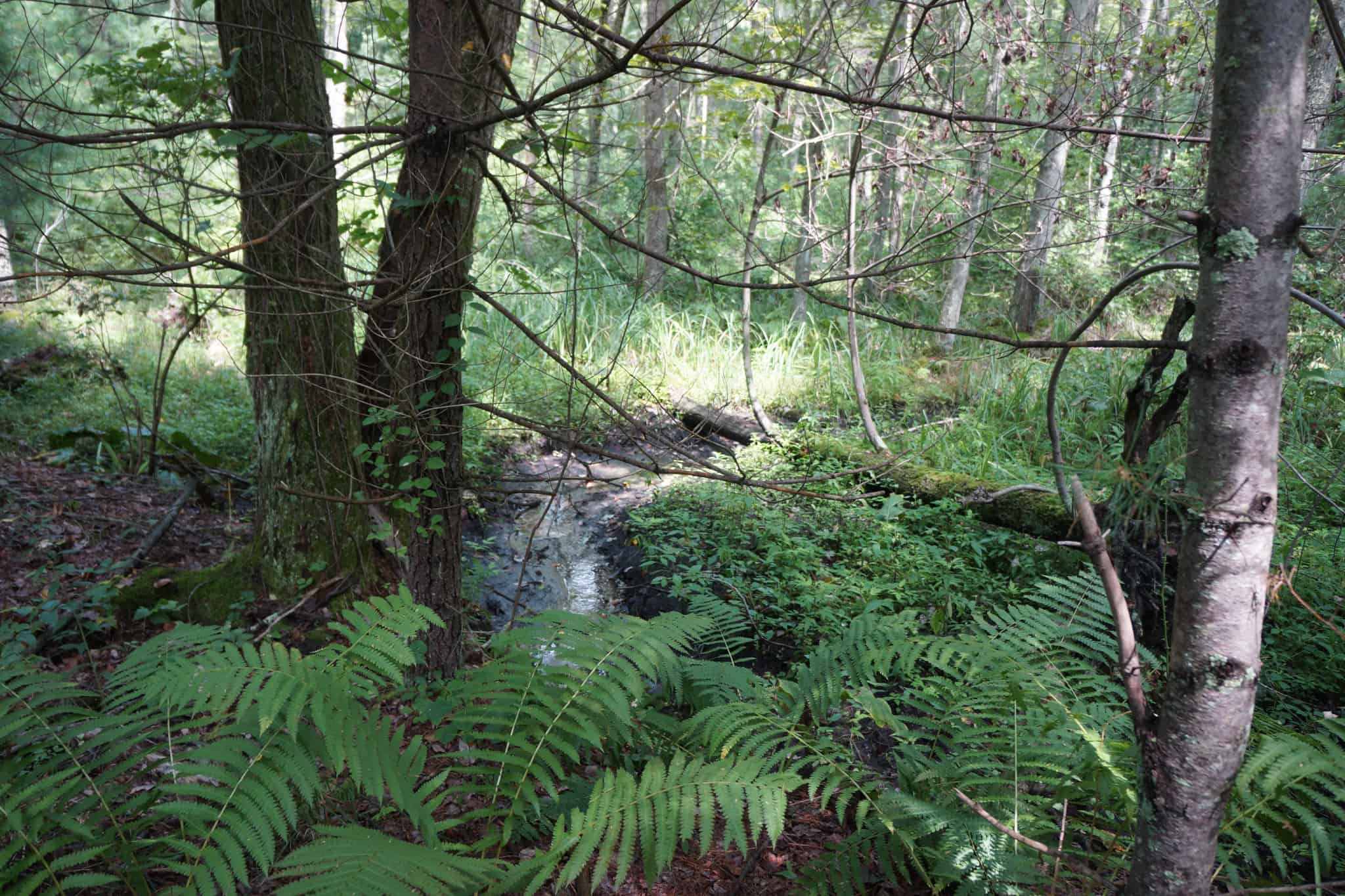
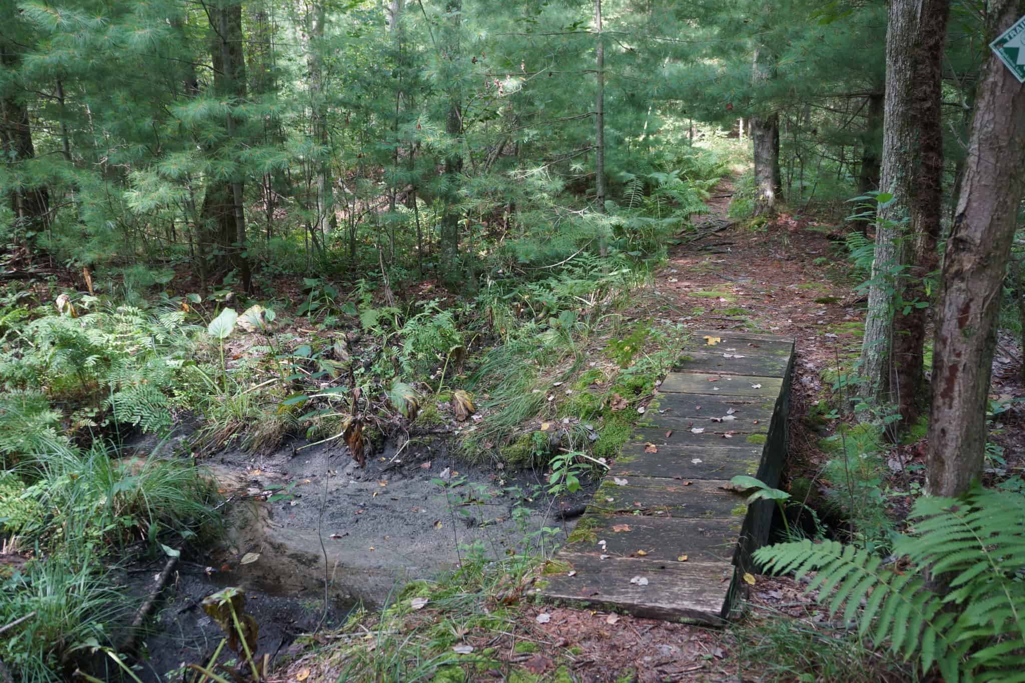
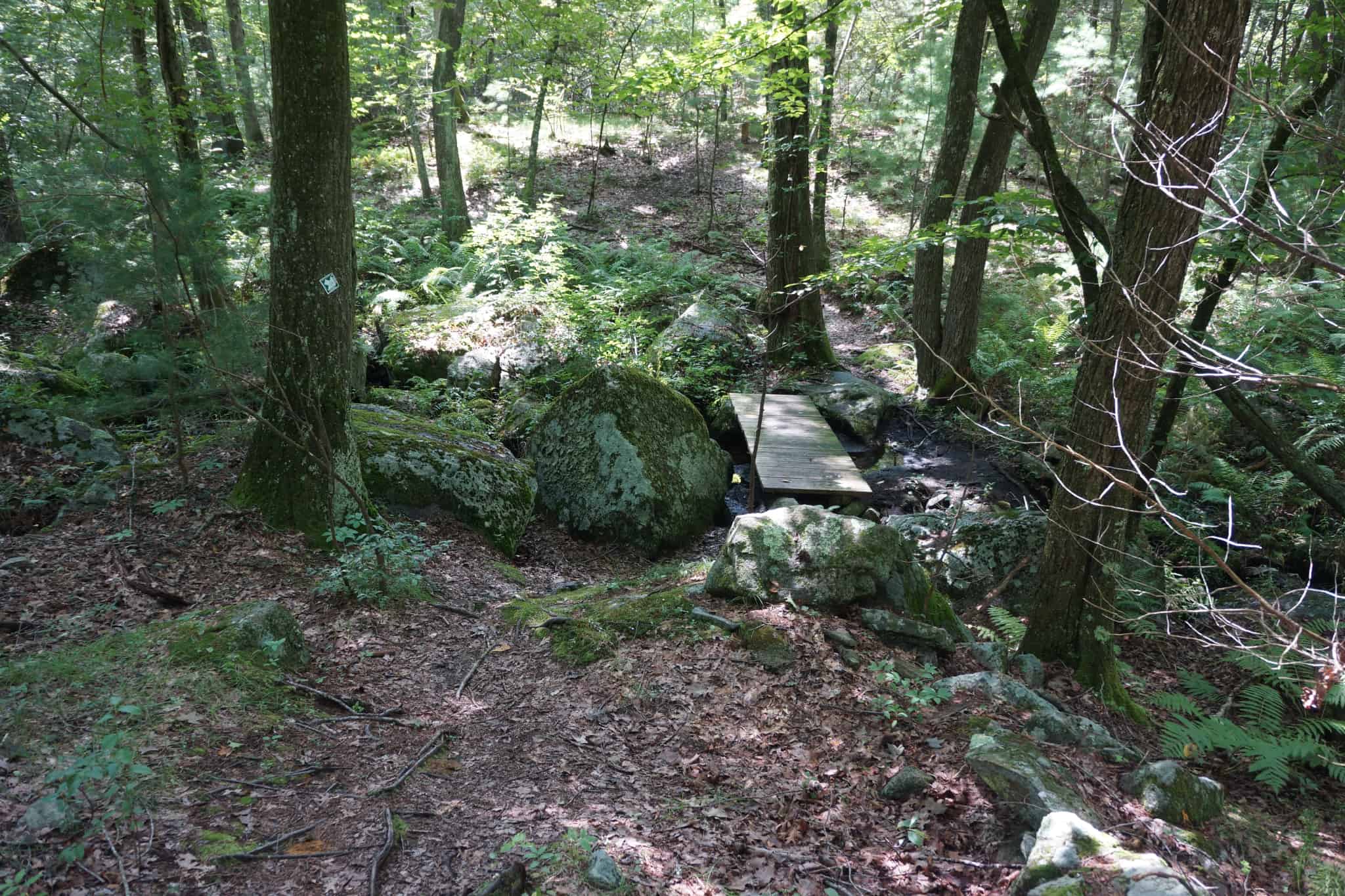
The trails are in very good condition, though there can be a little mud in spots after heavy rain. The 0.8-mile main trail can be walked in either direction from East Street to North Mill Street for a 1.6-mile round trip. Off this main trail are two loops that provide alternate return routes. The North Loop takes you through dry woods in a fairly remote part of the preserve, and the South Loop meanders through wetlands and then high ground with nice views. The trails cross several intermittent streams on foot bridges.
If you want to bushwhack challenge, you can leave the trail and climb the very steep slope off the east end of the preserve and end up 90 feet above the wetlands below. View the printable map to find the spot.
Immediately after the North Mill Street trailhead, on the left, notice a huge boulder sitting inside of what is apparently an old stone foundation. Did they build the foundation around the boulder? If not, how did the boulder get there?
If you enter or exit at the East Street trailhead, be sure to visit the North Mill historical site on North Mill Street at the north parking area (see below).
Size: 52 acres
Longest Walk: 1.6 miles round trip from either trailhead
Photo Gallery


History
This property is, perhaps, one of the last Hallmark/Ron Roux developments in Hopkinton. Ron donated the property to the Trust as part of his development efforts. This trail is named after Karl Mighton, a well-loved supporter of the Hopkinton Area Land Trust, who passed away in 2005. It was the Eagle Scout Public Service Project of Jon Taros who, along with other scouts from Boy Scout Troop 1, planned and produced the trail and a wooden bridge that crosses a stream in the property. It was officially opened on October 22 of that year.
Activities
Biking, Bushwhacking, Cross Country Skiing, Easy Walking, Hiking/Walking, Woods Trail
Additional Information
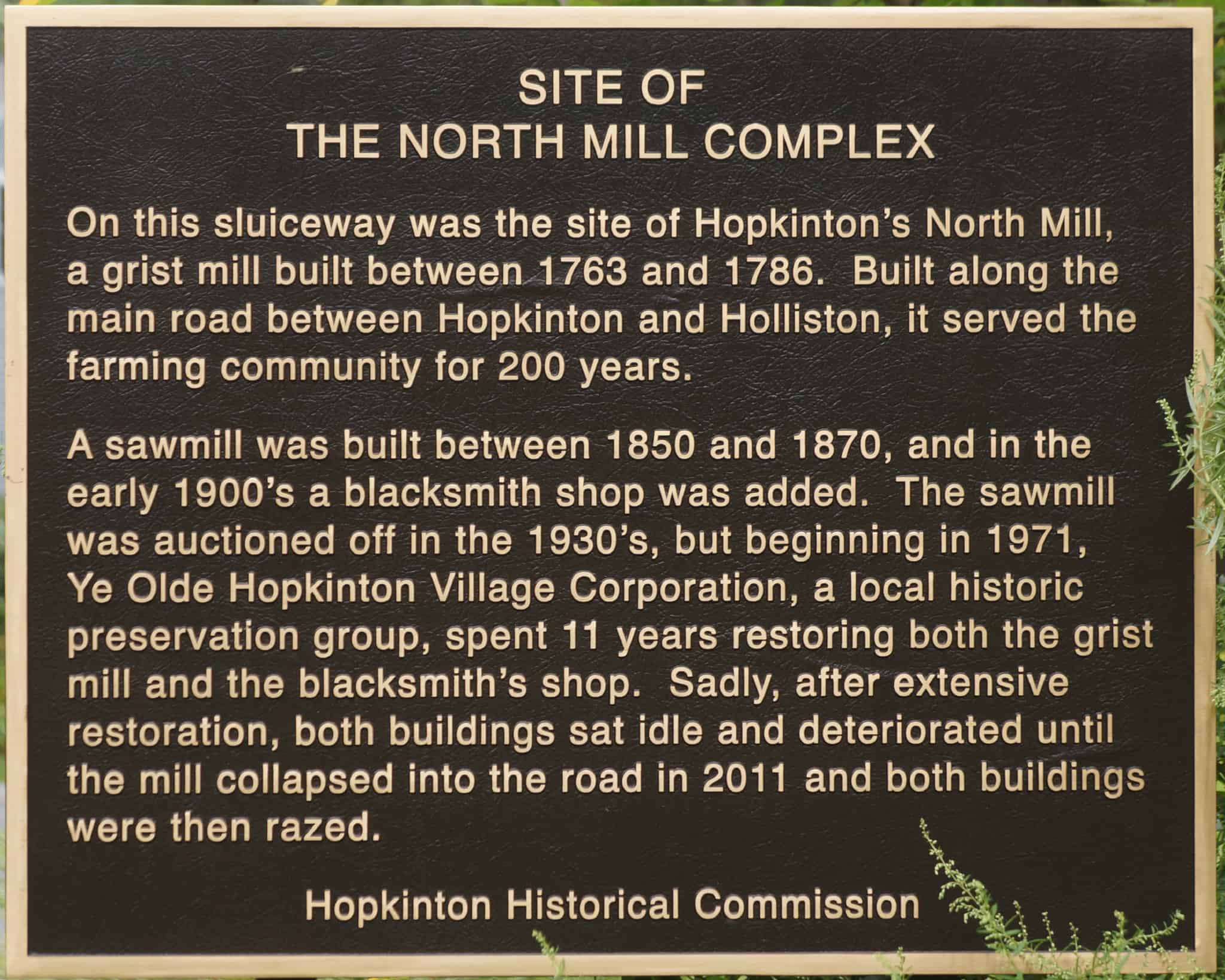 Did you ever wonder where are the mills that North Mill and South Mill streets are named after? This property, once called Old North Mill, is near the site of one of them, at the parking area along the road on North Mill Street near the bridge across Cold Spring Brook. The Hopkinton Historical Commission erected a plaque describing the mill and its sad legacy. Another plaque describing the mill on South Mill Street is also at a Cold Spring Brook crossing, on the causeway by Bloods Pond. For more information, see the Braim Farm page.