Center Trail
Location
Map Legend


Directions
The well-marked trailhead is located on Main Street directly across from Hopkinton Lumber. Parking is in the Respite Center parking lot on the left side of Claflin Place just off Main Street. Walk up behind the lot to the trail. A large sign designates the trailhead. The south end of the trail is at Chamberlain St. where there is a small sign on a tree, but parking there is difficult.
Overview
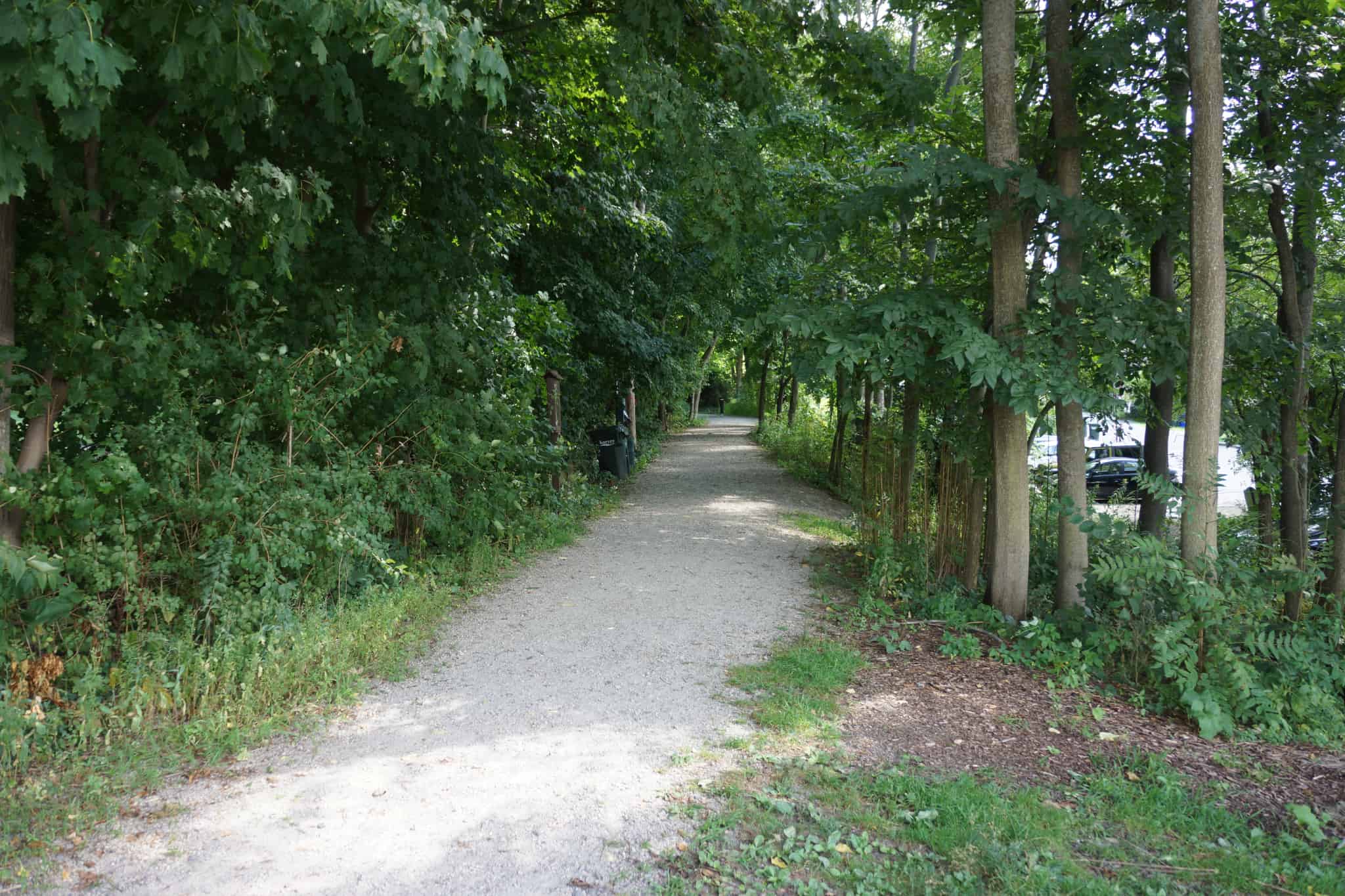
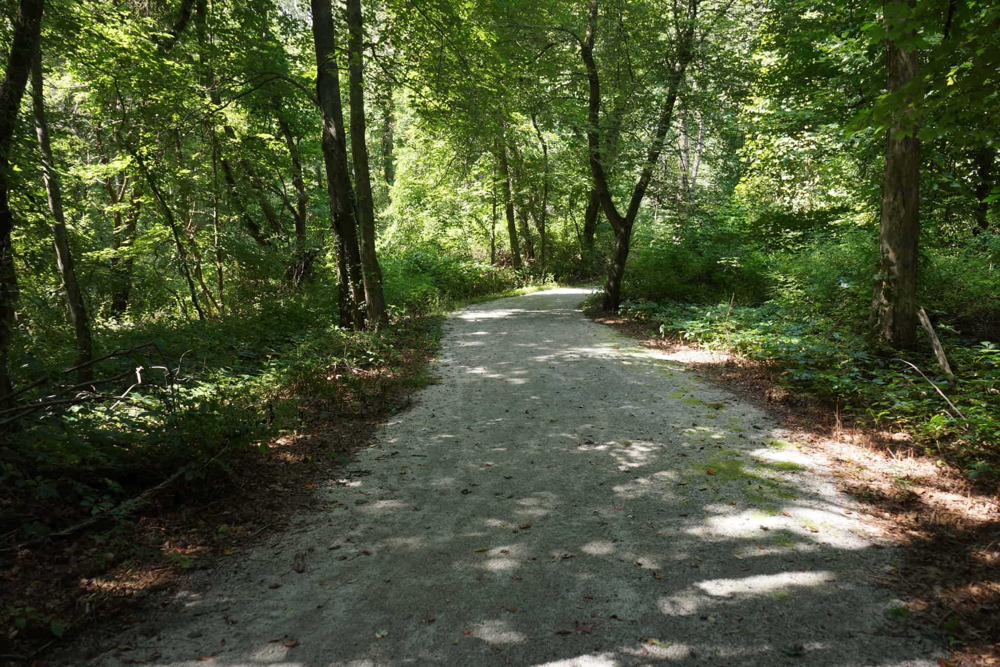
The 1.1 mile Center Trail is the crown jewel of this 68.4 acre property. The trailhead features a landscaped, crushed stone foyer surrounded by wood rail fencing. Because it is pefectly level and easy to access, it is one of the easiest and most popular trails in town. It is one of the few HALT trails suitable for road bikes.
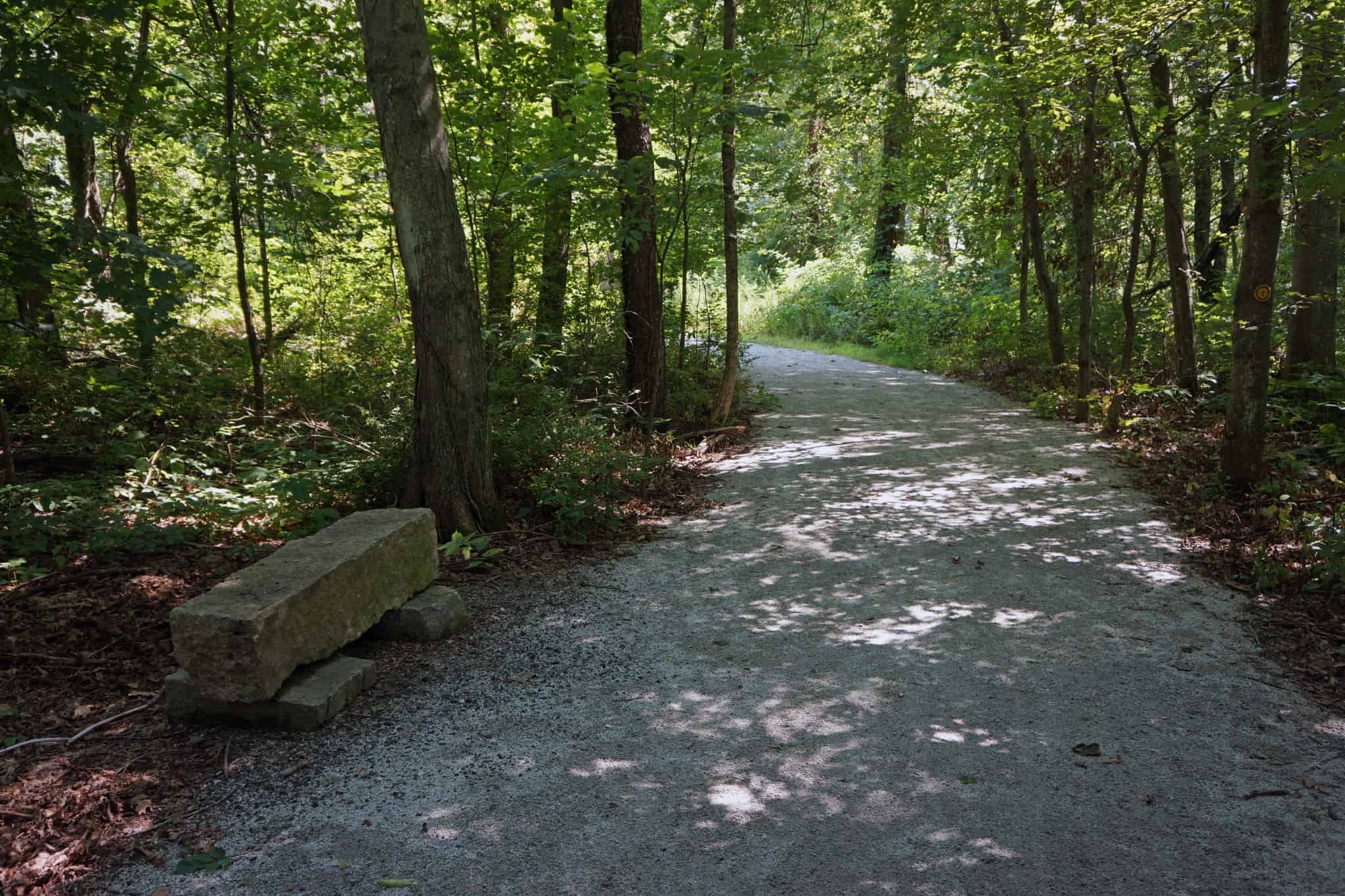
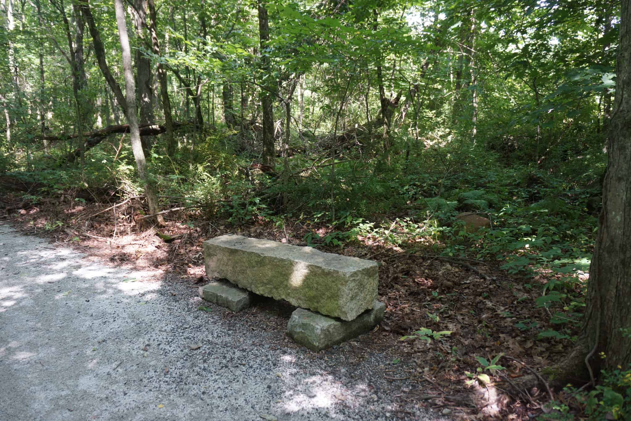
Coming in from the Main Street entrance on the north, the trail generally follows an abandoned railroad line to Milford that was built in 1863 and removed in 1950, and is now improved with a firm stone dust surface. There are three short granite bridges on the trail, originally built to allow water to flow under the railroad tracks, still serving the same purpose under the trail. Water on both sides of the trail flows into the wetlands below the trail and then to Indian Brook that feeds the Hopkinton Reservoir, then to the Sudbury River, the Concord River, the Merrimack River and finally the Atlantic Ocean.
About 500 feet from the start of the trail, the Welzel Trail branches to the right. It is a ¼-mile loop in a 4-acre parcel that comes back to Center Trail.
After the Welzel Trail returns, the next ½ mile of the Center Trail is on property hardly wider than the railroad bed itself, but for most of that distance the land on both sides is undeveloped, so it will feel like a pleasant woods walk. Then the trail intersects the high school loop road, where it leaves the railroad bed. Continue on the sidewalk on the right side of the road over a bridge, next to a parking lot, and then take a right turn on the unpaved road to an athletic field. The trail continues in the woods just to the left of that field. Towards the southern end of the trail there is a nice vernal pool with a trail information graphic display.
The trail ends in a residential neighborhood on Chamberlain Street.
Size: 68.4 acres
Longest Walk: 1.1 miles one way
Photo Gallery


History
The Town of Hopkinton purchased this parcel in 1996, then known as the Terry Property, named after the original family farming the land. The Center Trail was officially opened in 2009.
The Welzel Trail was built in 2015 with the help of Dan Palleiko for his Eagle Scout project. It was named in memory of brother and sister Andy and Jane Welzel. Andy, who died of pancreatic cancer in 2006 at 49, was a Hopkinton resident and trail enthusiast. Jane also died of pancreatic cancer in 2014 at 59. She was a 1973 Hopkinton High School graduate and five-time Olympic Marathon Trials participant, and was known as a pioneer of women’s running.
Activities
Accessible Trails, Biking, Cross Country Skiing, Easy Walking, Hiking/Walking, Vernal Pool
Additional Information
Center Trail is someday expected to become part of the Upper Charles Rail Trail, a planned 20-mile loop through Ashland, Holliston, Hopkinton, Sherborn and Milford.
Watch this very nice video of a 2016 bike ride down Center Trail by David Antaki, sped up 4x so you can see the whole thing in 2 minutes.