Eagle Farms
Also known as Hopkinton Highlands
Location
Map Legend


Directions
The north trailhead of the Betty Fitzpatrick Trail begins at Wedgewood Drive between Cedar Street Extension and Highcroft Way. If it is dry, you can park just off the road on the grass near the trailhead, where there is a large sign at the edge of the woods.
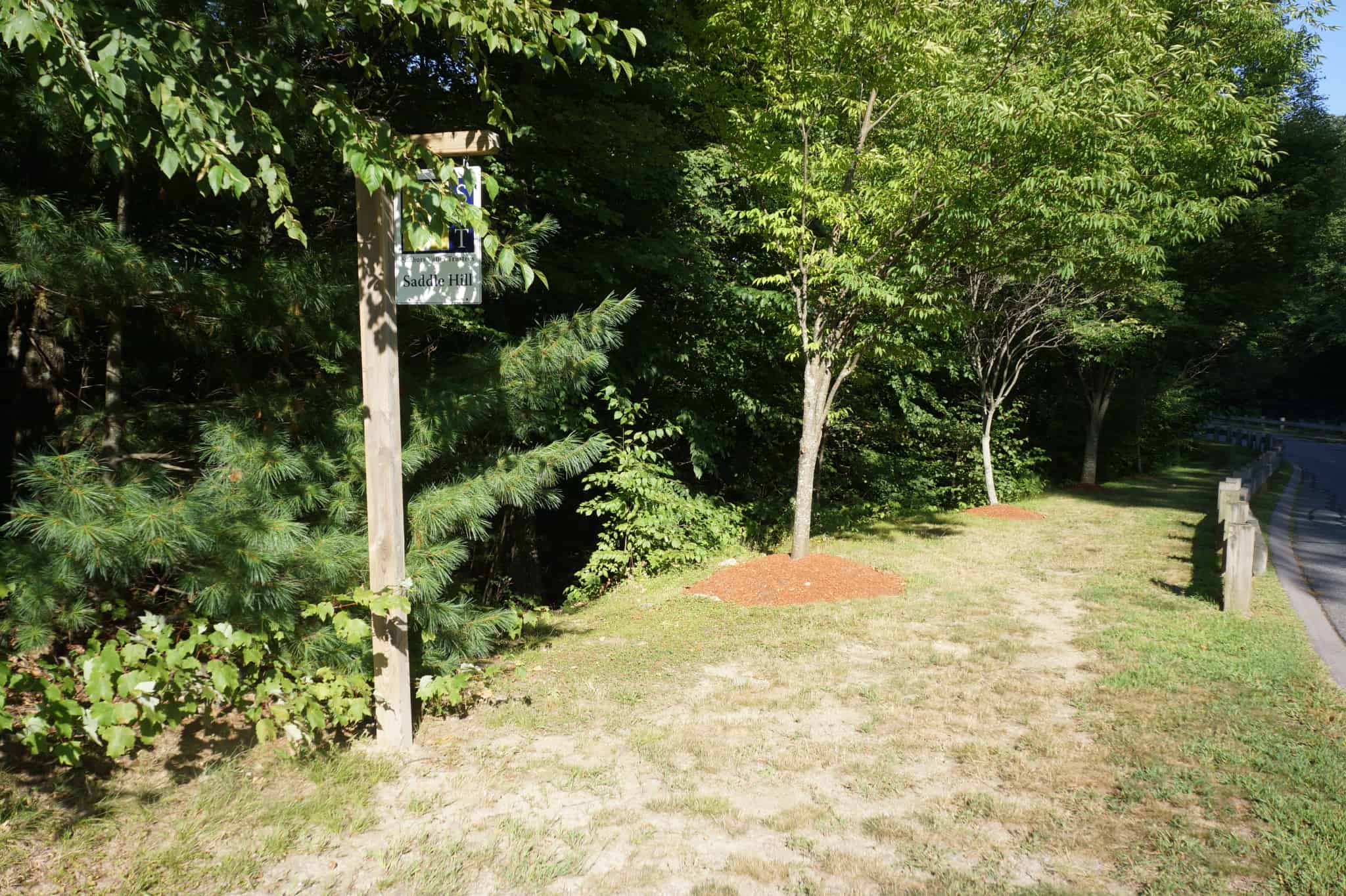
At the south trailhead, if it is dry, you can park on the grass just west of the bridge by the SVT Saddle Hill sign.
Another option is to park at the Highland Park parking pullout off Wedgewood Drive. From there walk a few feet south and across the road to find the spur trail that joins the Fitzpatrick Trail. This route avoids the more rugged sections on the northernmost section of the trail.
There is also a paved parking area for the Fitzpatrick Connector opposite Trevor Lane.
Overview
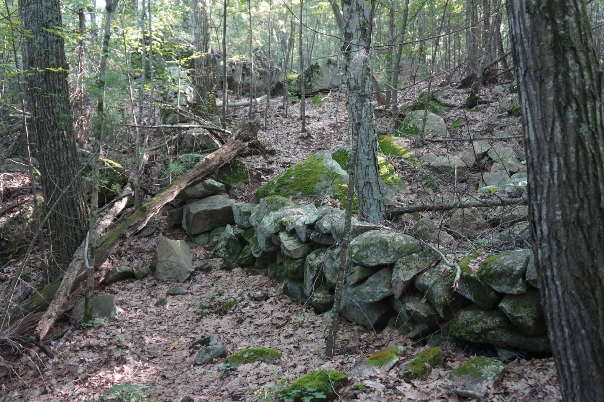
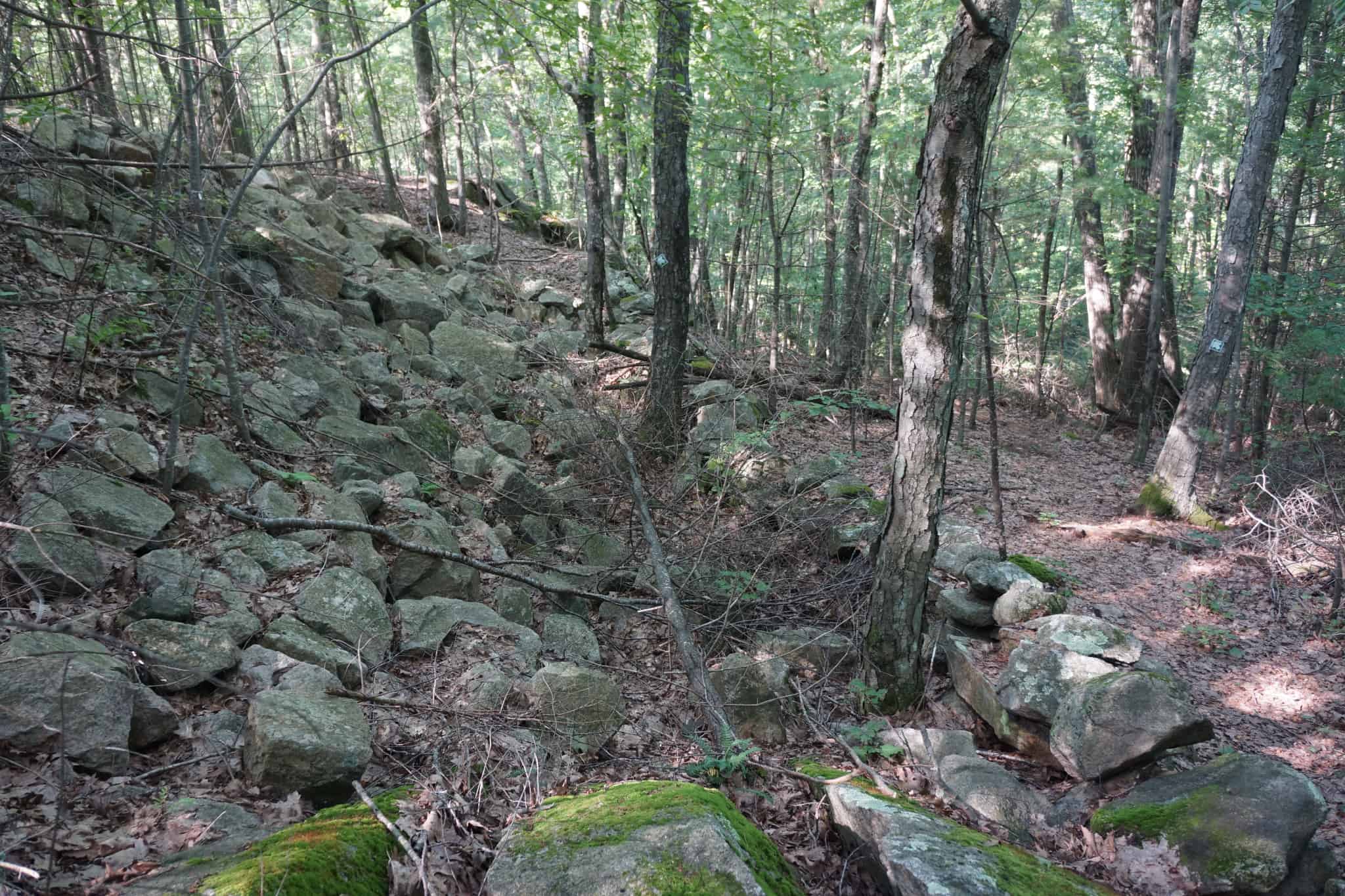
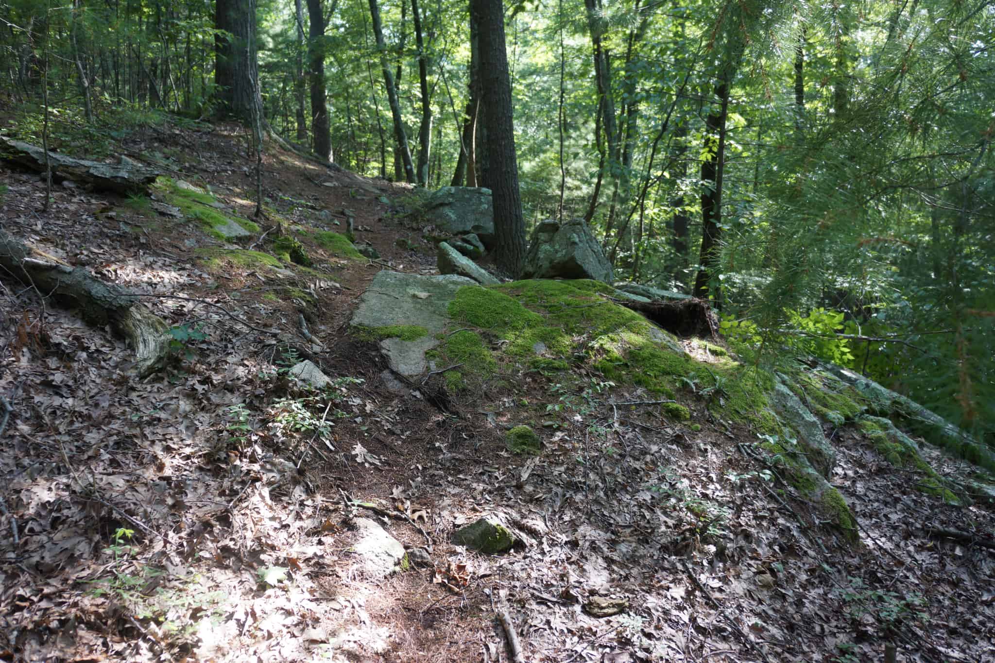
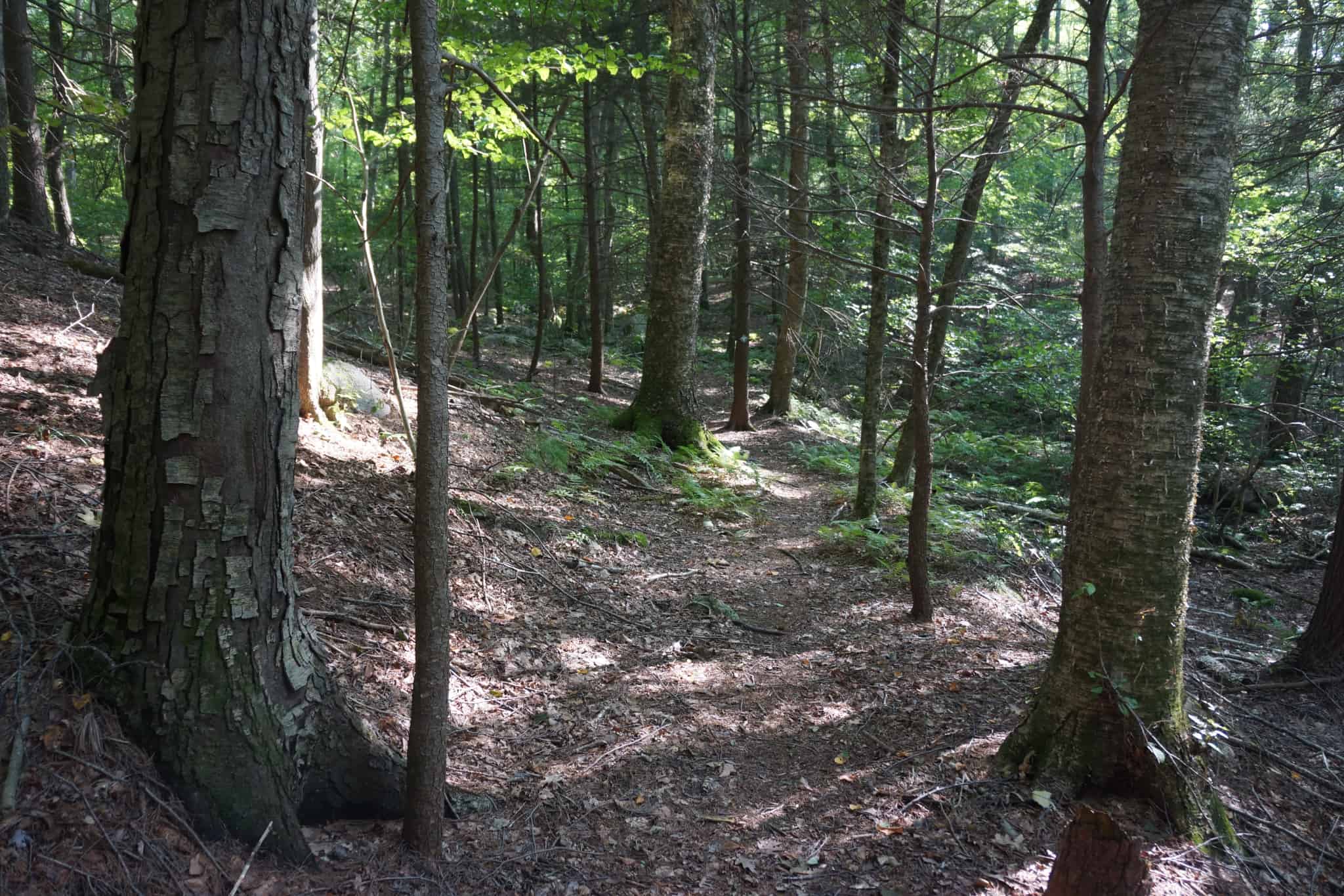
If you want a good workout and some excitement, the Betty Fitzpatrick Trail is for you. Starting at the north trailhead on Wedgewood Drive, this one-mile trail travels along steep ridges, twice through a massive stone wall and by large rock outcroppings, while undulating over some serious topography. Coming off a ridge high above a ravine, it drops 100′ down a couple of large switchbacks where you can see the bottom of the ravine 30′ further down. It then travels alongside a stream, eventually crossing it on rocks, to a junction with the Greenwood Trail in the Sands Conservation Area on the right.
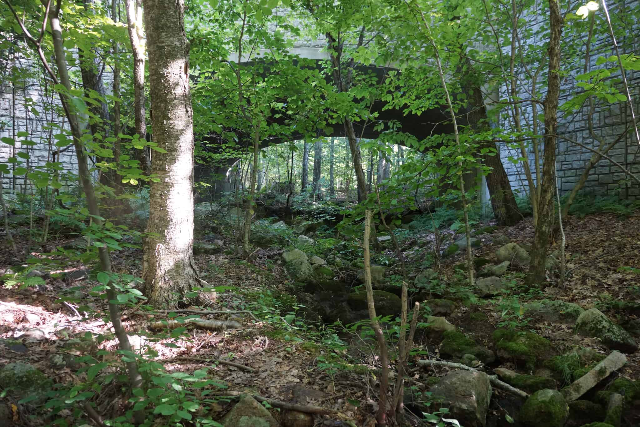
Past that junction the trail ascends away from the stream, and then drops down again to the stream level, ending just beneath the Overlook Road bridge, where it joins SVT property and the Saddle Hill Trail at a signpost.
From this junction you can take the Saddle Hill Trail under the bridge (along the left side) to the other side of the road and eventually connect to the Sands Trail in the nearby Sands Conservation Area for a 2-mile hike. The Saddle Hill Trial also connects to more miles of trails in Hopkinton State Park. Or, you can turn right before the underpass and climb up to exit at Overlook Road.
If you turn around at the bridge and head back to the north trailhead, you will have ascended a total of 350 feet in a 2-mile round trip, which is significant for Hopkinton.
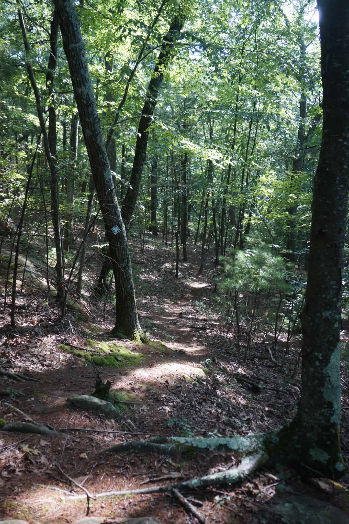
The trail would be difficult to follow in parts where it clamors over rocks, but it is well-signed, so you won’t get lost.
Another way into the trail that avoids the steep switchback starts just south of the Highland Park parking area on Wedgewood Drive on the opposite side of the street.
After this moderately strenuous hike, consider relaxing at the nearby Zettek Overlook.
Size: 37.4 acres
Longest Walk: 1 mile one way
Photo Gallery


History
This property surrounds the Eagle Farms/Hopkinton Highlands II subdivision. The Friends of Whitehall, another conservation-minded organization in town, holds a Conservation Restriction on this property.
Betty Fitzpatrick was one of the five founders of HALT. This unusually ambitious trail was built by Eagle Scout candidate Jake Krapf.
Activities
Biking, Hiking/Walking
Additional Information
The Sudbury Valley Trustees has a Saddle Hill brochure with a printable map of the conservation land in this area. Since the brochure was developed SVT has opened up the Saddle Hill area to bicycles.