Rockwood Meadows
Location
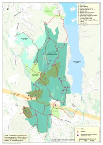
Map Legend
Rockwood Meadows Map
Directions
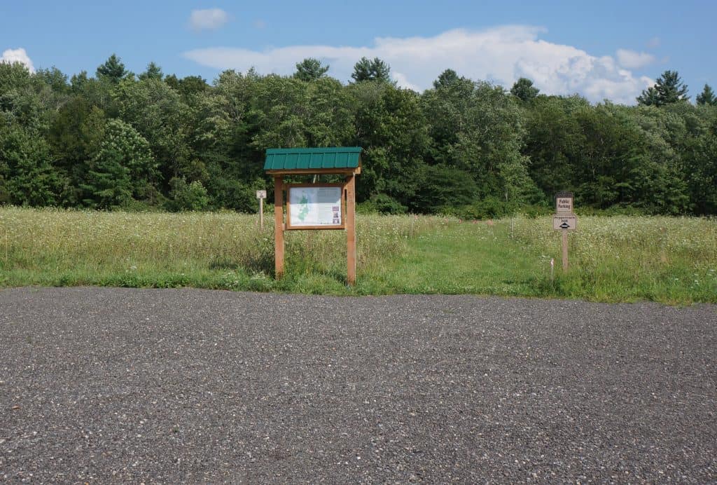
From West Main Street, turn south on School Street and in 0.3 miles on the left you will see a large parking area and informational kiosk.
Overview
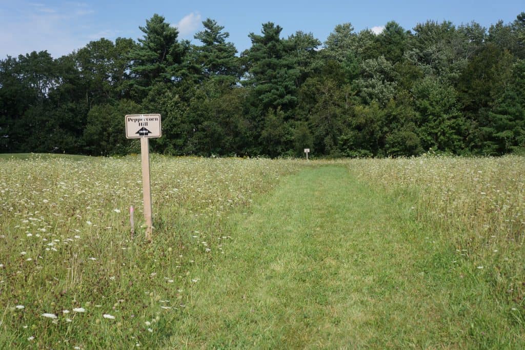
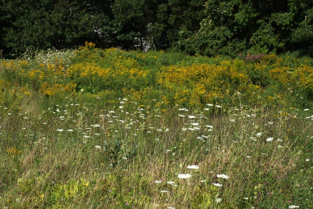
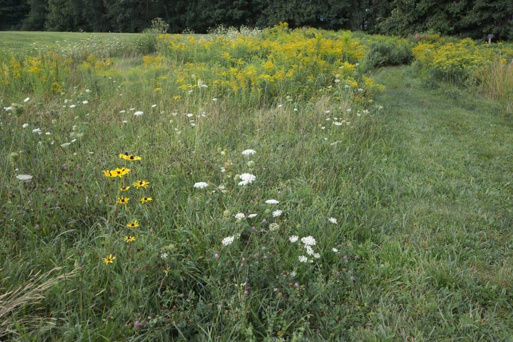
This easy trail connects between the parking lot at School Street to the Walleston Trail in the Peppercorn Hill Conservation Area. The first part is a wide mowed path across a nice meadow with wildflowers almost always in bloom: in August you will find goldenrod, Queen Anne’s lace, black-eyed Susan, red clover and cow vetch. After the field it heads into the woods along a stone wall where it is very straight for 1000 feet and then turns south into the Upton side of Rockwood Meadows. Just after a junction with a residents-only spur to the right there is another junction on the right to trails in the Peppercorn Hill area. If you want to head to the top of Peppercorn Hill, stay left. You will intersect the Walleston Trail 0.7 miles from the parking lot. Turn right to reach the summit of Peppercorn Hill in another ½ mile.
Size: 25 acres in Hopkinton
Longest Walk: 1.2 miles to the summit of Peppercorn Hill
Acquired: 2015
Photo Gallery
History
This property surrounds the Rockwood Meadows development in both Hopkinton and Upton. HALT has a Conservation Restriction on the Hopkinton side and the Upton Conservation Commission has a Conservation Restriction on the Upton side (not shown on the map above). The entire property is preserved as open space, but the only part that is open to the public is the trail itself.
Activities
Biking, Easy Walking, Hiking/Walking, Sightseeing, Woods Trail


